Justin Mankin Quoted in The Economic Times
Geography professor Justin Mankin discusses research that detailed economic losses in various countries due to climate change from activity in wealthier, more industrialized nations.

Geography professor Justin Mankin discusses research that detailed economic losses in various countries due to climate change from activity in wealthier, more industrialized nations.
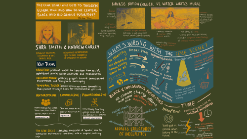
Students in Professor Jane Henderson's course 'Race, Space, and Nature' created visual roadmaps for their final projects to explore and synthesize key scholarly ideas.
Snowmaking and elevation data made the cross country site race-ready.

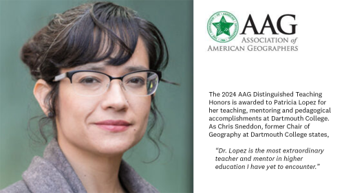
Professor Lopez joins the governing body of the American Association of Geographers in 2024.

A warmer atmosphere holds more water vapor, seeding stronger rain storms, according to Jonathan M. Winter, associate professor of geography at Dartmouth College.

Congratulations to Dr. Patricia Lopez on national recognition for her teaching, mentoring, and pedagogical accomplishments.
A study by researchers at Queen's University and Professor Richard Wright is highlighted by the Guardian.

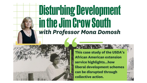
Join Professor Domosh on November 9th at 4:30 in Berry 180 (Baker-Berry Library) to hear about her recently published book and the research process that led her to write it.
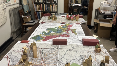
Students from the Social Justice and the City course, led by Professor Erin Collins, constructed homes at the Book Arts Workshop to understand historic redlining and its impacts in Oakland.
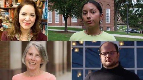
Geography alum Lizet Garcia '23 is one of the two Mellon Mays fellows receiving Dartmouth awards for outstanding contributions to their fields.