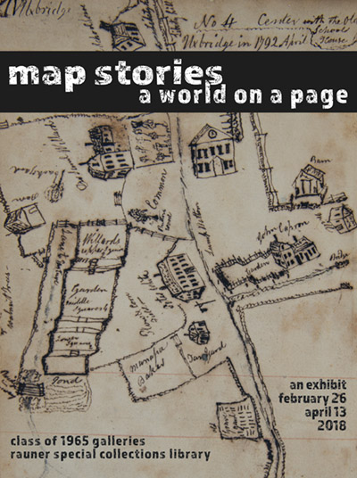
Map Stories: A World on a Page
From giant atlases to pocket guidebooks, topographies, or Google Street View, something about maps inspires curiosity and wonder. Perhaps it is the ability to see and imagine an entire world from a single page; while maps are useful tools for physically navigating between locations, they can also transport us to anywhere and everywhere from within the confines of our own homes. When we look at maps we remember where we’ve been, anticipate future destinations, dream about places we might never go, and envision lands that do not exist. Maps are also much more than what we see on the surface – they tell a story about the people who made them and the people who use them. What a map includes and how it bounds, portrays, and names those places or landmarks make statements about politics, cultural differences, and historical trends. The maps included here tell a range of stories from across time, in worlds real and imagined.
The exhibit was curated by Sara Jane Holston, the Edward Connery Lathem '51 Special Collections Fellow for the 2017-2018 academic year. It will be on display in the Class of 1965 Galleries from February 26th, 2018, through April 13th, 2018.
You may download a small, 8x10 version of the poster. You may also download a handlist of the items in this exhibition.
Materials Included in the Exhibition
CASE ONE
Perspective
While all maps reproduce the appearance of a particular space, they do so in a multitude of diverse ways; the perspective that the cartographer chooses to emphasize when translating three-dimensional space into two dimensions has a significant impact on how viewers imagine space and themselves within it. The finished map reveals how the cartographer thinks about and understands the space depicted, and creates an opportunity for conversation across time and space between the cartographer’s perspective and the viewer’s.
-
Bretez, Louis. Plan de Paris. Paris, 1739. Rare G 1844.P3B7 1739.
-
A celebratory tribute to one of Europe’s finest cities, the Plan de Paris is made up of a number of maps that, when placed side by side, form one large map of all of Paris. Not only is the assembled scale impressive, but the resulting work is an exact replica of Paris at the time, down to the tiniest details of each building’s exterior and the distance between structures, demonstrating Paris’s importance to the mapmaker and his contemporary viewers.
-
-
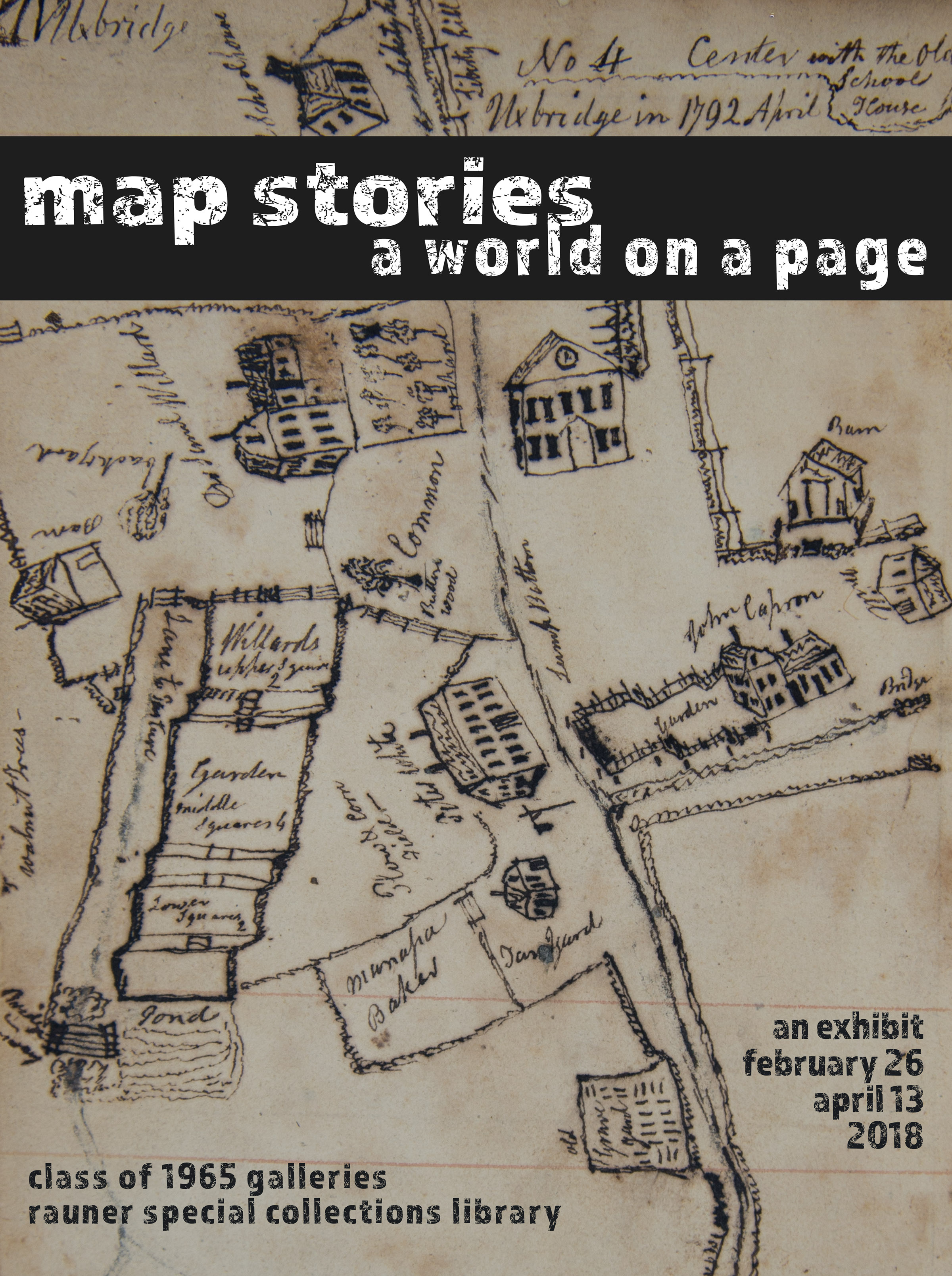
Frost, Elias. Chronicle of the Frost family: with anecdotes and notices indicative of individual characters, with an autobiography of the compiler. 1853. Codex 853310.
-
Elias Frost drew these maps of towns in Massachusetts and New Hampshire by hand as part of his chronicle of his family’s history. They attempt to replicate the view of the buildings from the street, but at each point the internal perspective rotates: buildings that appear upside-down are actually just on the other side of the street. More significant buildings, such as the church, are proportionally larger and more detailed.
-
-
Woodward, Rodney D. Pocket Relief Map – Franconia Notch region. 1930. White Mountains G 3741.C18 1930.W6.
-
While a delightfully different representation of the White Mountains and some of its trails, this pocket relief is not particularly useful for practical navigation. It serves more as a souvenir to remember a trip to the White Mountains, or as a window into what it might be like to summit one of the peaks and see the valley sprawled below. Its three-dimensional nature inspires a sense of awe for the scale of the mountains that could not be achieved in two dimensions.
-
-
Milne, A. A. Winnie-the-Pooh. London: Methuen & Co. Ltd., 1926. Rare PZ 7.M64 W12.
-
The most explicitly narrative of the maps in this case, Christopher Robin’s map of the Hundred Acre Woods provides the least accurate map of the space it documents. It does, however, offer a different kind of perspective: each location is directly tied to one of the vignettes contained within the story, and serves to inform (or, in many cases, to remind) the viewer of what occurred there. Christopher Robin’s opinions and reflections on each place are apparent in his naming and drawings.
-
CASE TWO
Speculation
We often assume that maps provide information that is as solid and certain as the ground they typically portray. As navigational tools, maps are supposed to identify a set of directions or a path that ensures our arrival at our destination. But maps frequently involve more speculation than we expect; a map can also be an opportunity to tell a story without words or characters. Each viewer brings his or her own knowledge and beliefs to bear when assessing a map, and the interface between these perspectives and the maps in question offers insight into how ideas have changed across cultures and throughout time.
-
Parry, Sir William Edward. Journal of a voyage for the discovery of a North-west Passage from the Atlantic to the Pacific. London: John Murray, 1821. Stefansson G 650 1819.P151
-
One of the most dynamic maps in the collection, Parry’s map of the arctic transitions as one travels across it, moving from explicit depiction of the geography of the known world to open space representing areas still unexplored. The blank space extending past the discovered lands invites viewers to wonder what may exist beyond the boundaries of familiarity. This map tells a story of excitement and boundless possibility for those who are following Parry’s journey from home.
-
-
Ortelius, Abraham. Theatrum Orbis Terrarum. 1592. Rare G 1006.T5 1592
-
With its illustrated sea monsters and volcanoes and notes describing features of the island, this map allows even those viewers who have never visited Iceland to imagine travelling around its mountains and seas, and what might be found there. The map offers little navigational information beyond the locations of cities, and the brown polar bears suggest that even the artists had little personal experience in Iceland (or at least, had never seen a polar bear to know they’re white) and based some of the representation on their own experiences.
-
-
Dante, Alighieri. Dante con l'espositioni di Christoforo Landino et d'Alessandro Vellvtello sopra la sua comedia dell' Inferno, del Purgatorio, & del Paradiso. Venice, 1578. Rare PQ 4302.B78
-
To 16th-century readers of Dante’s Inferno, Hell was a real place, but one that no one could speak of first-hand (and no one hoped to see for themselves). These woodcut maps of the hell that Dante describes provide a unique conception of what eternal punishment might be like for those who did find themselves there after death.
-
-
Swift, Jonathan. Travels into several remote nations of the world : in four parts. London: printed for Benj. Motte, 1726. Rare PR 3724 .G7 1726
-
Gulliver’s Travels attaches fictional lands to real places, blurring the line between the actual and the imagined. The maps presented at the beginning of each part of the story offer readers the opportunity to contextualize Swift’s fantastical lands within their understanding of reality. Alone, the maps would inspire curiosity in a reader familiar with the authentic geography. Either way, they enrich the narrative within Gulliver’s Travels, and tell a story about the kind of speculation Swift performed in imagining the tale.
-
-
de Afferden, Francisco. El atlas abreviado. Amberes: F. Laso, 1711. Bryant G1015 .A3 711
-
Turning our focus upward from the earth, this map charts the skies and stars. It does not just depict the constellations, however; it also includes illustrations of the mythological figures each constellation represents, referencing ancient stories about why the gods placed each cluster of stars in the heavens and what those legends say about the past or the future.
-
CASE THREE
Journeys
The primary use for maps is arguably to aid travelers’ successful navigation from one place to another. The routes between significant destinations, however, can be represented in a variety of ways and require a range of tools or information to utilize effectively. Challenges to traditional ideas about maps create possibilities for “maps” that visualize space in unique ways, provide radically different information, and ultimately tell their own stories about travel and journeys.
-
Ogilby, John. Itinerarium Angliae. London, 1675. Rare G1808. O3 1675.
-
Ogilby’s ribbons of highway do not attempt to map a place but instead map a route. The strips show the major roads a traveler ought to use, the landmarks he or she would pass, and the distances he or she could expect to travel. The emphasis, then, is not on what the surrounding land is like, but on the experience of the journey towards the ultimate destination.
-
-
The English Pilot. London, printed for J. Mount, T. Page and W. Mount, 1775. Rare G 2046 .P5E5 1746.
-
Where Ogilby’s ribbons of highway aid transport over land, The English Pilot focuses on navigation on the sea. Though the depiction of the oceans and landmasses makes the Pilot look more like a traditional map, the multitude of criss-crossing lines map out various sea routes between significant locations. With no landmarks or roads, the maps in the Pilot use the compass rose and other information to provide direction, while the rest of the book includes some drawings of what the coastline would look like from a ship approaching the destination.
-
-
Tolkien, J.R.R. The Hobbit. Houghton Mifflin Company: Boston, 1984. Illus H158toh.
-
The extended title of Tolkien’s great classic, The Hobbit, or There and Back Again, establishes the story as one of a journey. The two maps in the opening pages offer insights into the tale. The first depicts the lands that the characters traveled, providing necessary context for the places described in the narrative, and allowing the reader to better imagine those spaces and the journey through them. This map offers very little navigational aid, instead documenting the setting of the story.
-
The second map in the front of the Hobbit is a replica of the one Thorin and his fellow adventurers use to find their way to Erebor, including the runes and other notations on the map that the story describes. That this map exists simultaneously in the fictional world and the real offers the reader the opportunity both to follow along with the journey and to anticipate where the characters must go next, using the map and other information provided to navigate the space alongside the characters.