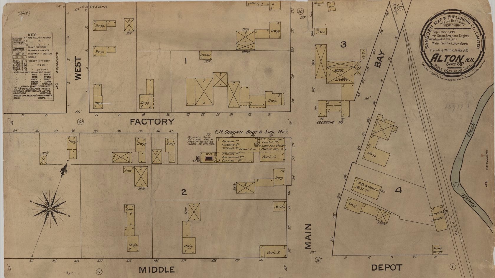
Maps of towns and cities, produced by the Sanborn Map Company for insurance purposes.

Fire insurance maps in the Library of Congress : plans of North American cities and towns produced by the Sanborn Map Company : a checklist, a book in our collection, is now available online from the Library of Congress. This checklist provides the names of towns in each state and the years of any Sanborn maps produced. In some cases, the online checklist provides links to online collections of Sanborn maps.
If you are interested in the history of the Sanborn maps, we have such a book in our collection:
- Oswald, Diane L. (1997). Fire insurance maps: their history and applications.
Our library collection also includes other books about the Sanborn maps:
- Sanborn Map Company (1950). Catalogue of insurance maps published by Sanborn Map Company.
- Hoehn, R. Philip (1977). Union list of Sanborn fire insurance maps held by institutions in the United States and Canada.
- Geography and Map Division, Library of Congress (1981). Fire insurance maps in the Library of Congress. (This book includes an introduction by Walter W. Ristow)
Sanborn Maps In Historical Research
These fire insurance maps also hold a wealth of information and can be used as primary sources in historical research. The following citations are works where scholars used these maps in their research.
- MacKell, Jan. Brothels, bordellos & bad girls: prostitution in Colorado, 1860-1930. Albuquerque: University of New Mexico Press, 2004.
- Krieger, Alex and David Cobb. Mapping Boston. Cambridge, MA: MIT Press, 1999.
- DeBats, Donald A. 2008. "A Tale of Two Cities: Using Tax Records to Develop GIS files for Mapping and Understanding Nineteenth-Century U.S. Cities." Historical Methods 41 (1): 17-22.
- Strohkarck, Frank and Katherine Phelps. 1950. "Mechanics of Constructing a City Market Map." Journal of Marketing (pre-1986) 15 (1): 61-64.
- Lands, Leeann Bishop. 2002. ""Speculators Attention!": Workers and Rental Housing Development in Atlanta, 1880 to 1910." Journal of Urban History 28 (5): 546-572.
- Marquez, Raquel, Louis Mendoza and Steve Blanchard. 2007. "Neighborhood formation on the West Side of San Antonio, Texas." Latino Studies 5 (3): 288-316.
- Curtis, James R. 1995. "Mexicali's Chinatown." Geographical Review 85 (3): 335-348.
Additional Information
The Sanborn Map Company still produces maps for limited areas in the country. For more information, click here.
More information about Dartmouth College Library's collection of Sanborn maps, including how to order print copies, can be found here.
Other New Hampshire Map Collections
To view a collection of maps covering Hanover, New Hampshire, see the Hanover New Hampshire Maps.
To view a collection of maps of the entire state, see The Granite State in Maps.