Dartmouth Digital Collections: Maps
 New Hampshire Towns and Cities, 1880s-1920s. The Sanborn Fire Insurance Map Collection.
Maps of towns and cities giving detailed information on building location and structures for insurance purposes, produced by the Sanborn Map Company. These maps also hold a wealth of information and can be used as primary sources in historical research.
 The American Military Pocket Atlas. Robert Sayer and John Bennet. 1776.
London, R. Sayer and J. Bennet, [1776]. A collection of maps of the British colonies.
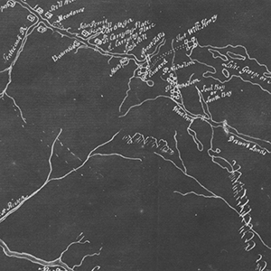
 Hanover New Hampshire Maps. 1700-1999.
These are maps of Hanover, New Hampshire and Dartmouth College from the Evans Map Room at the Dartmouth College Library. This collection's dates range from 1700 to 1999. Maps dated after 1923 are currently not available online pending copyright clearance.
 The Granite State in Maps. 1756-2003.
The state of New Hampshire began its existence as a British colony and part of Massachusetts on the North American continent. It eventually became part of the original 13 states of the union. This digital map collection not only illustrates the changes in New Hampshire's borders but how the state saw itself. Each map is a snapshot in time for the state.
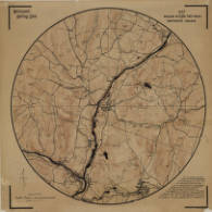
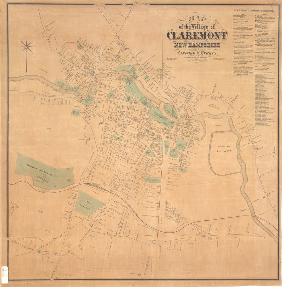 New Hampshire's Towns & Cities in Maps. 1776-2006.
This new digital collection of maps of New Hampshire cities and towns complements the “Granite State in Maps” collection. This collection focuses on municipalities within the state, giving users views of how each entity changed or did not change over the years.