Dartmouth Launches Climate Futures Initiative
Faculty are invited to three colloquia on climate scholarship and teaching.

Faculty are invited to three colloquia on climate scholarship and teaching.
Kui Dong, Vievee Francis, and Laura Ogden are among 188 award recipients this year.

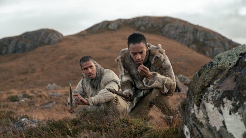
Professor Nathaniel Dominy reviews box-office takes on society and human behavior.
Snowmaking and elevation data made the cross country site race-ready.

Study shows early migrants overcame economic barriers by raising pigs.

The new program will deepen faculty-student connections.
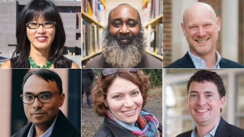
Other new hires include a special advisor on climate and a director of federal relations.

Reindeer vision may have evolved to spot favorite food in the snowy dark of winter.

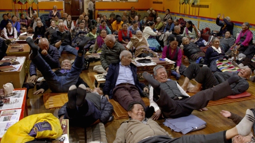
Directed by Tibetan filmmaker Kesang Tseten, the film builds on Craig's research on migration and social change to showcase one of New York's newest immigrant communities.
An analysis of declassified imagery identifies 396 forts spanning from Syria to Iraq.
